| 1847 MITCHELL MAP OF MICHIGAN |
|---|
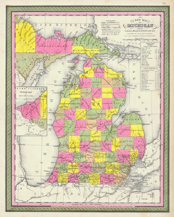
This map of Michigan was published by Samuel Augustus Mitchell in his Universal Atlas, Philadelphia (1847). In many respects it is a copy of Tanner's 1831 map, even borrowing the same title, i.e., A New Map Of Michigan With Its Canals, Roads & Distances. It does, however, give a more accurate view of the state's western coastline and includes new counties added since 1831.