| 1873 OAKLAND COUNTY ATLAS |
|---|
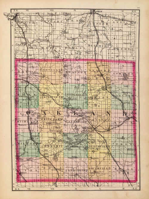
This Map of Oakland County, Michigan, was drawn by H. F. Walling and published in Atlas of the State of Michigan, R.M. & S.T. Tackabury, Detroit, Mich. (1873).
This Map of Oakland County, Michigan, was drawn by H. F. Walling and published in Atlas of the State of Michigan, R.M. & S.T. Tackabury, Detroit, Mich. (1873).
|
|
[Home] [What's New] [Search The Site!]
[Society Information] |