| 1928-29 ROAD MAP, OAKLAND COUNTY |
|---|
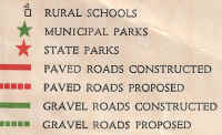
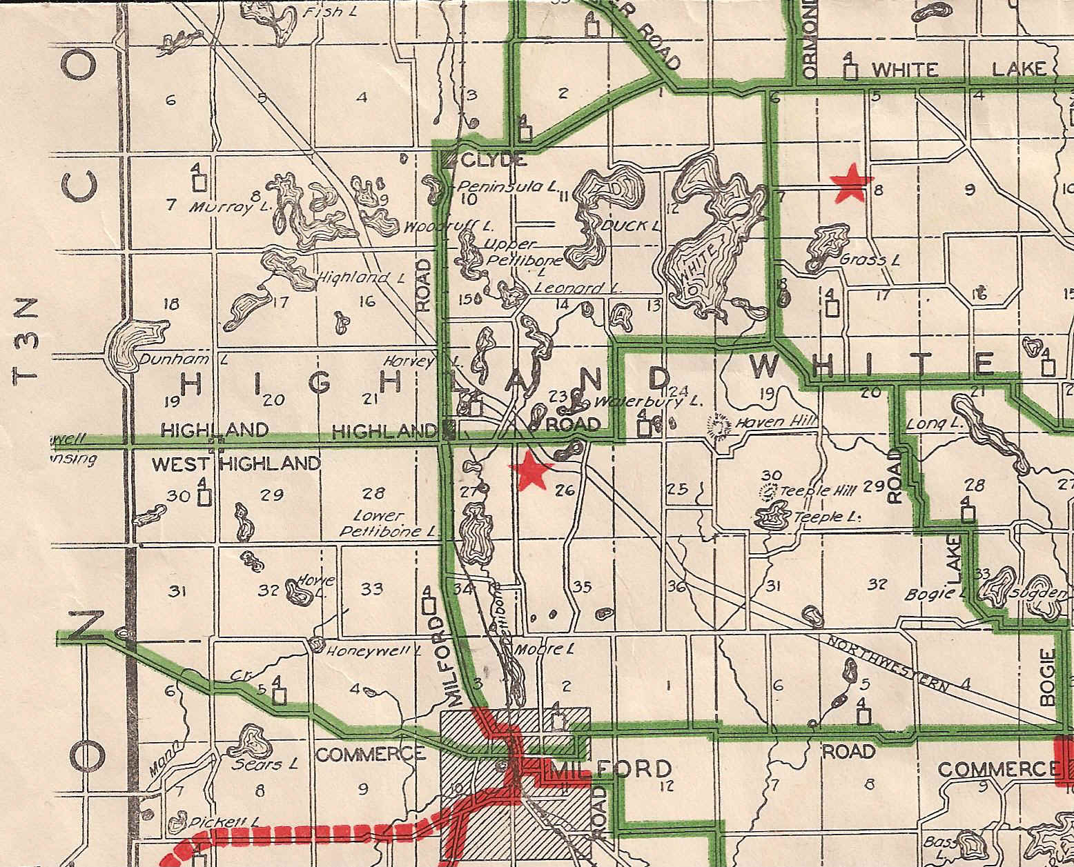
This is a portion of the 1928-1929 Road Map, Oakland County, published by the Oakland County Road Commission, which includes Highland Township, along with the map key. Prior to construction of M-59, Livingston and Elizabeth Lake Roads formed the main east-west route through the township. Travelers heading west from Pontiac would take Elizabeth Lake Road through what is now East Highland, turn south on Waterbury Road, then resume heading west on Livingston Road, through Highland Station, on their journey toward Howell. The red star in Section 26 denotes Dodge Brothers State Park No. 10. The road appearing to run diagonally across the township is a proposed route for the Northwestern Highway Extension. First proposed in the early 1920's, it appeared on various county and state maps until the 1980's, but has never been constructed.