| 1840 GREENLEAF MAP OF MICHIGAN |
|---|
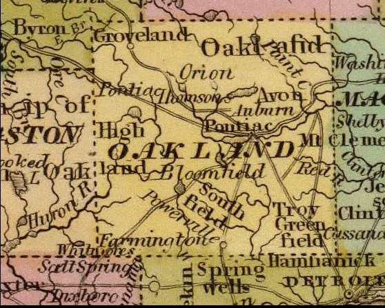
Despite its shortcomings, the Greenleaf map is noteworthy as one of the first to identify Highland Township by name, as this enlargement of the Oakland County portion shows.
Despite its shortcomings, the Greenleaf map is noteworthy as one of the first to identify Highland Township by name, as this enlargement of the Oakland County portion shows.
|
|
[Home] [What's New] [Search The Site!]
[Society Information] |