| EAST HIGHLAND |
|---|
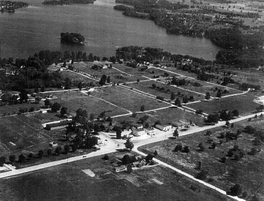
Within a decade after M-59's construction, but especially post-World War II, the area witnessed a boom in both commercial and residential development. Taken in 1948, this is an aerial view, looking northeast, of what was beginning to be called "East Highland."