| 1909 USGS TOPOGRAPHIC MAP |
|---|
NORTHWEST QUARTER NORTHEAST QUARTER
SOUTHWEST QUARTER SOUTHEAST QUARTER
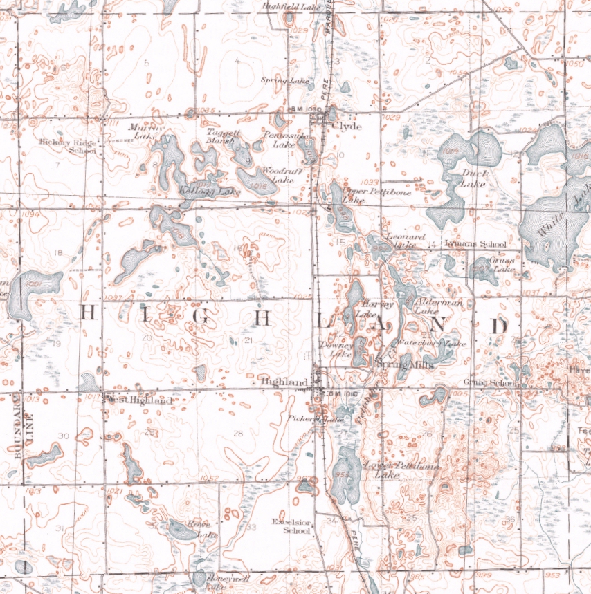
Seen below is the Highland Township portion of the December, 1909 edition of a U.S. Geological Survey (USGS) topographic map for the "Milford Quadrangle." The entire map also includes all of Milford Township, most of Rose Township, and parts of adjoining townships to the east and west. Enlarged views of the northeast, northwest, southeast and southwest quarters of the township can be viewed by clicking the links above.